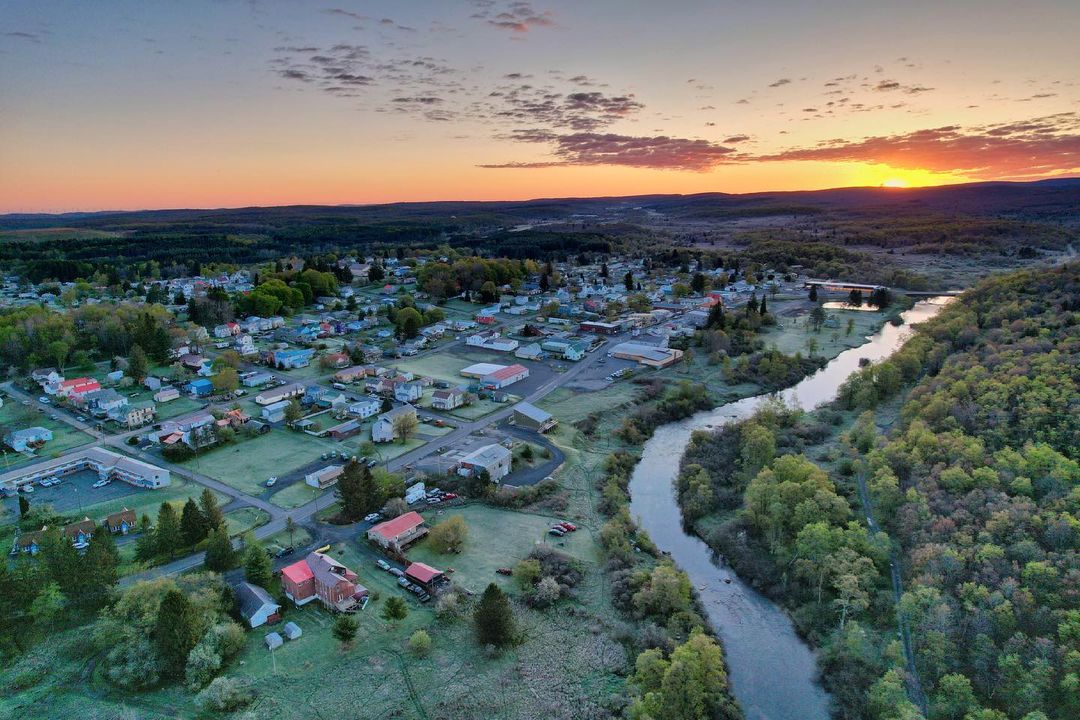
Harpers Ferry, WV
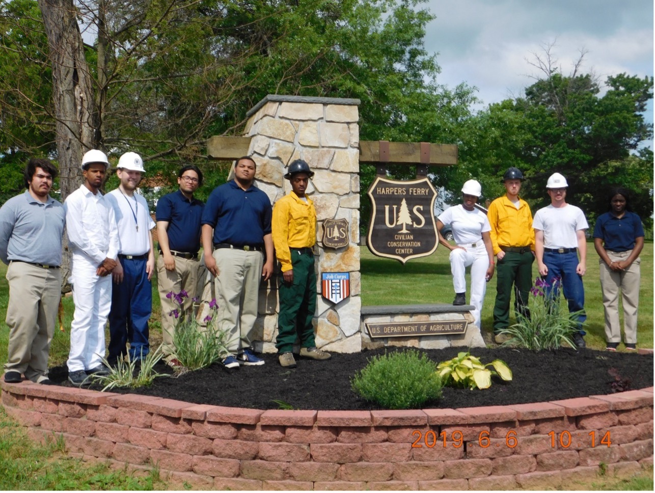
The Forest Service Job Corps program, in collaboration with the Department of
Labor, operates 24 Civilian Conservation Centers (CCCs) located in 15 states and
19 National Forests. The CCCs can serve over 3,000 disadvantaged students yearly
on residential campuses. Students can earn high school credentials, leadership
training, and career technical training certifications in various fields,
including forestry and conservation, firefighting, welding, carpentry,
electrical, masonry, administration, maintenance, and heavy equipment. The
students represent the diversity of the American population the Agency serves
and have the ability to support the mission of the Forest Service in many ways.
Graduates can be part of workforce development, students can provide maintenance
support to Units, and our extensive firefighting program can serve needs with
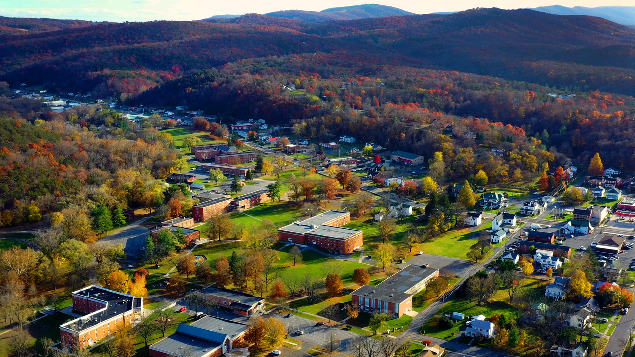
fuels, RX, suppression, dispatch, and camp support. The Harpers Ferry Job Corps
Center serves 109 students on 77 acres in Harpers Ferry, West Virginia.